Spatial Data
Source: ESA
Here’s a list with some resources for spatial data that I have used in my research.
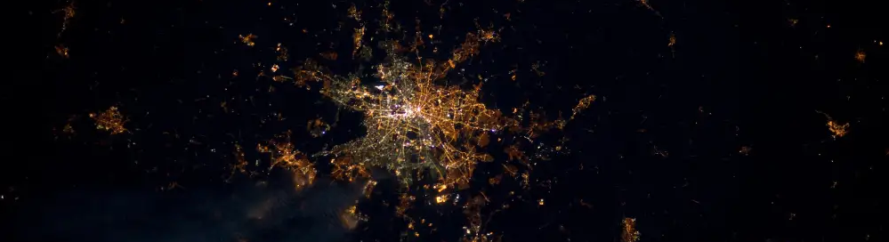
Nightlights
- VIIRS (since 2012) https://ngdc.noaa.gov/eog/viirs/download_dnb_composites.html
- DMSP-OLS (1992-2013) https://ngdc.noaa.gov/eog/dmsp/downloadV4composites.html
Geocoded Surveys
- Afrobarometer https://www.afrobarometer.org/
- Demographic and Health Survey (DHS) https://dhsprogram.com/
- World Bank LSMS http://surveys.worldbank.org/lsms/about-lsms
Geographic Variables
- Ruggedness https://diegopuga.org/data/rugged/
- Caloric Suitability Index https://ozak.github.io/Caloric-Suitability-Index/
- Elevation (NASA) https://cgiarcsi.community/data/srtm-90m-digital-elevation-database-v4-1/
- Land Cover http://maps.elie.ucl.ac.be/CCI/viewer/index.php
- Precipitation and Temperature http://chelsa-climate.org/downloads/
- Malaria Ecology Index from the paper Kiszewski et al (2004) shared by Gordon McCord https://gps.ucsd.edu/_files/faculty/mccord/mccord_research_malaria-index.zip
Country Shapes (including Admin-1 and -2)
- GADM https://gadm.org/data.html
- GAUL https://data.apps.fao.org/map/catalog/srv/api/records/9c35ba10-5649-41c8-bdfc-eb78e9e65654
Population Grid
- Worldpop https://www.worldpop.org/doi/10.5258/SOTON/WP00004
- UNEP Sioux Falls https://na.unep.net/siouxfalls/datasets/datalist.php
Ethnic Maps Africa
- Murdock Maps http://worldmap.harvard.edu/data/geonode:Murdock_EA_2011_vkZ
- GREG http://worldmap.harvard.edu/data/geonode:GREG_0vV
Conflict Data
- Uppsala Conflict Data Program https://ucdp.uu.se/
- Acled https://www.acleddata.com/
- Ethnic Power Relations (ETH) https://icr.ethz.ch/data/epr/
Satellite Imagery
- Google Earth Engine https://developers.google.com/earth-engine/datasets/
- Sentinel 2 (ESA) https://sentinel.esa.int/web/sentinel/missions/sentinel-2
- Landsat (USGS) https://www.usgs.gov/land-resources/nli/landsat/landsat-data-access?qt-science_support_page_related_con=0#qt-science_support_page_related_con
Landcover Grids < 30m
- Global Human Settlement Layer (GHSL) https://ghsl.jrc.ec.europa.eu/download.php
- Global Urban Footprint (GUF) https://www.dlr.de/eoc/en/desktopdefault.aspx/tabid-11725/20508_read-47944/
- ESA African land cover https://www.esa.int/ESA_Multimedia/Images/2017/10/African_land_cover
- NASA Cropland https://earthdata.nasa.gov/esds/competitive-programs/measures/gcad30-through-landsat-and-modis
- Facebook, CIESIN & World Bank High Resolution Settlement Layer https://ciesin.columbia.edu/data/hrsl/
Resources and Mining
- USGS https://mrdata.usgs.gov/
- World Resources Institute https://www.wri.org/resources
Further Data Collections
- WorldGeoDatasets http://www.worldgeodatasets.com/basemaps/index.html
- AIDDATA https://www.aiddata.org/datasets
- PCA https://platform.princetonclimate.com/PCA_Platform/index.html
- data|in|space https://datainspace.org/
- Free GIS data https://freegisdata.rtwilson.com/
- UPenn GIS Global https://guides.library.upenn.edu/globalgis
- GDELT https://www.gdeltproject.org/data.html
Software
R is a wonderful programming language for data manipulation and statistical programming. R is also extremely powerful when it comes to spatial data. The main packages for GIS in R to get familiar with are sp for vectorized representations of spatial data and raster for spatial grids. The sf package is certainly also worth mentioning and can be considered a new and improved version of sp. But there are many more useful packages and their number is constantly growing. Here are some links to tutorials to get you started with GIS in R: